PRODUCT DETAILS

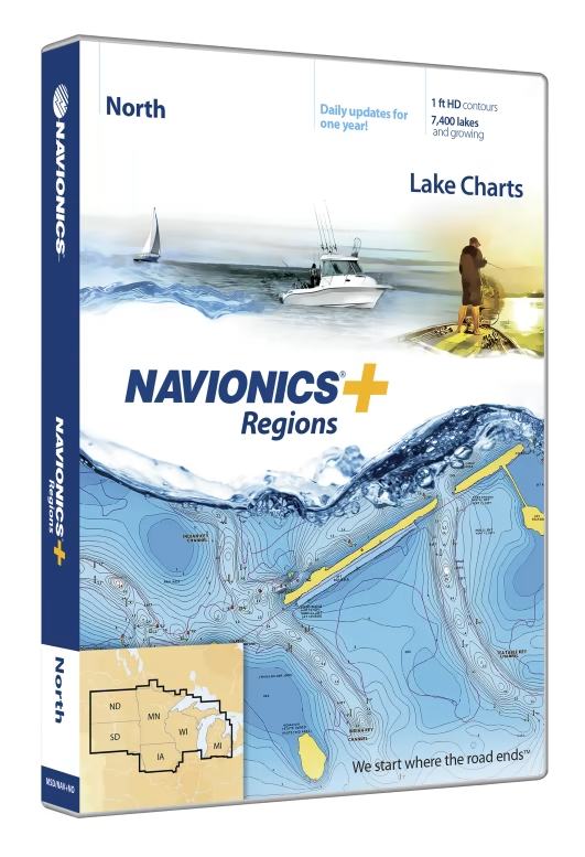
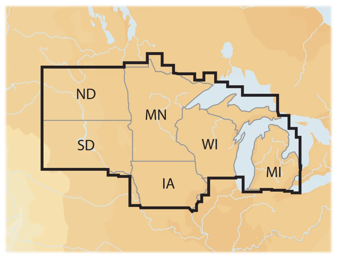
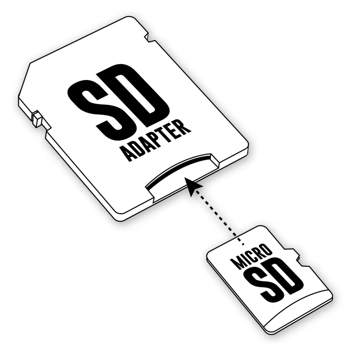
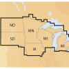
Discover the easiest, most detailed, user-friendly charts on the water with Navionics+® Regions Electronic Marine Charts for Chartplotters. These Navionics chart cards deliver more regional marine and lakes content than any other product on the market. Get detailed Nautical Chart, SonarChart™ 1′ HD bathymetry maps, and Community Edits, plus daily updates for a full year! Each region includes thousands of lakes and keeps growing all the time. Simply plug your card into your PC/Mac to download the most updated charts and Community Edits anywhere within the entire region. Each of the Navionics+ Regions Electronic Marine Charts for Chartplotters includes a 16GB card and USB reader.
- Easiest, most detailed, user-friendly charts on the water
- More regional marine and lakes content than another product on the market
- Includes detail Nautical Chart and SonarChart 1′ HD bathymetry maps
- Built-in Community Edits data
- Daily updates for 1 year
- Easy updating—just plug into computer to download the latest charts and edits anywhere in the region
- Includes a 16GB card and USB reader
Check out the Interactive Navionics Chart Selection App for help selecting a chart.


Reviews
There are no reviews yet.