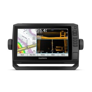
Garmin GPSMAP 743 GPS Chartplotter
$1,099.99 Original price was: $1,099.99.$899.98Current price is: $899.98.
PRODUCT DETAILS

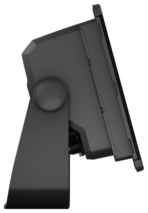
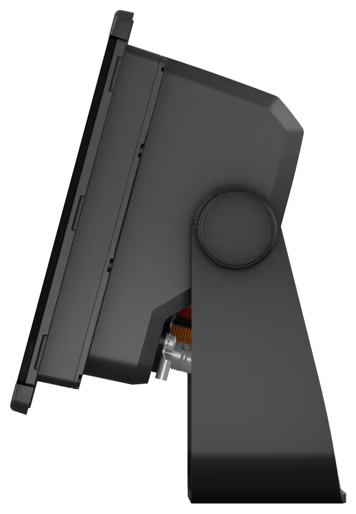
Get a sharper view from your connected helm with the Garmin® GPSMAP® 743 GPS Chartplotter. Its higher-resolution 7″ display has 60% more pixels than previous-generation Garmin chartplotters. Sporting ultra-sleek design, vivid sonar color palettes, and nearly double the processing power pf previous-generation GPSMAP devices, this GPSMAP GPS seamlessly integrates into your Garmin marine system. Preloaded BlueChart® g3 coastal charts and LakeVü g3 inland maps give you the best of Garmin and Navionics® data plus Auto Guidance technology. Easily build your marine system—from compatible sonar and autopilots to compatible radar, cameras and multimedia—using HTML 5.0, NMEA 2000® and NMEA 0183 network connectivity, J1939 for engines and the Garmin Marine Network. Or pair your plotter with your other compatible Garmin devices, such as quatix® marine smartwatches, gWind™ transducers, wireless remote controls, and more.
- High-resolution 7″ display
- Sunlight readability and wide-angle visibility
- Fast and responsive
- 10Hz GNSS (GPS, GLONASS, and Galileo)
- Preloaded mapping includes LakeVü g3 and BlueChart g3 with the best of Garmin and Navionics data
- Built-in Auto Guidance
- OneHelm connectivity to compatible third-party devices such as EmpirBus digital switching
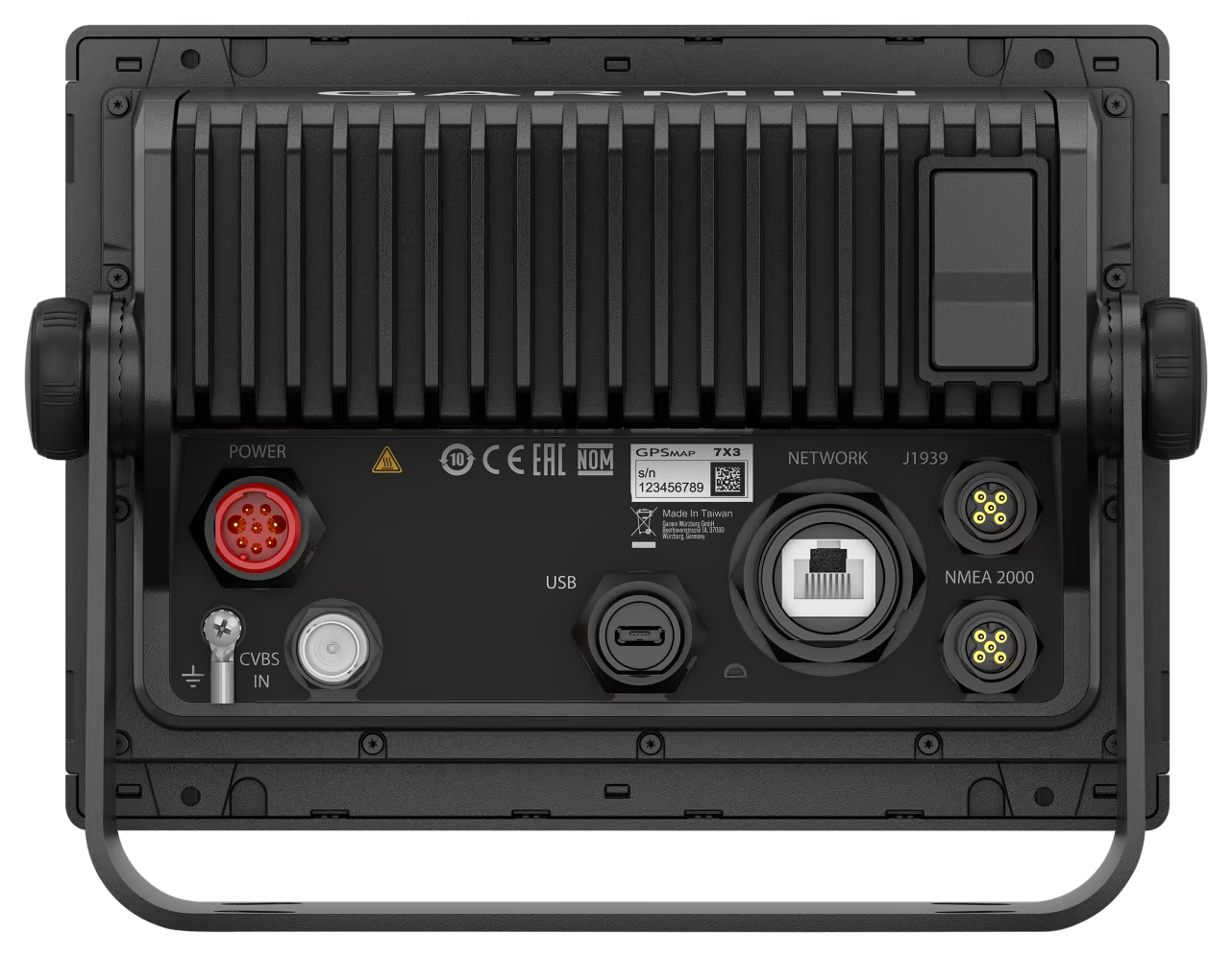
- NMEA 2000 and NMEA 0183 network connectivity
- Built-in Wi-Fi networking to pair
- ActiveCaptain app compatibility
- Access to OneChart, smart notifications, software updates, and more
- Integrated ANT wireless technology



Reviews
There are no reviews yet.