PRODUCT DETAILS

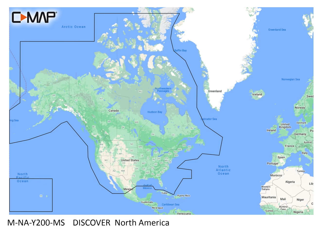
Cruising, fishing or sailing, C-MAP® DISCOVER™ SD Card Electronic Map Chart offers ultra-wide coverage and include all the core features to make the most of your time on the water. DISCOVER includes the very best of C-MAP High-Res Bathymetric data, including integrated Genesis® data, full-featured Vector Charts with Custom Depth Shading, Tides and Currents, and subscription-free Easy Routing™. Detailed marine port plans give you precise layouts of thousands of locations, down to the slip spaces, restricted areas, and more. Harbor and Approach data provides unprecedented detail to let you approach any inlet with confidence. Online updates keep you current for 12 months after the date of your purchase. Compatible with Lowrance, Simrad, and B&G chartplotters.
Manufacturer model #: M-NA-Y200-MS.
- Ultra-wide geographical coverage
- High-Res Bathymetrics: identify shallow areas, drop-offs, ledges, holes, or humps
- Vector Charts: accurate detail from Hydrographic Office information.
- Custom Depth Shading: set a clear safety depth
- Easy Routing directional plotting
- Tide and current data
- Detailed marine port plans
- Harbor and Approach details
- 12 months’ online updates


Reviews
There are no reviews yet.